Rural & Agriculture
12 October, 2023
New VNI powerline map unveiled
Controversial new power line plans to be tested at community meetings over the next week.
The proposed route of the controversial VNI West transmission line has been narrowed down from 50 kilometres to 2km wide.
The project, which continues to spark angry protests across regional Victoria, aims to connect the Victorian and NSW energy grids and is set to impact 500 properties.
The first test of this latest route came at a community meeting in Charlton on Tuesday afternoon, followed by a similar meeting at St Arnaud on Wednesday, with further meetings planned in Stawell next Monday, Kerang next Tuesday, and an online briefing on October 19.
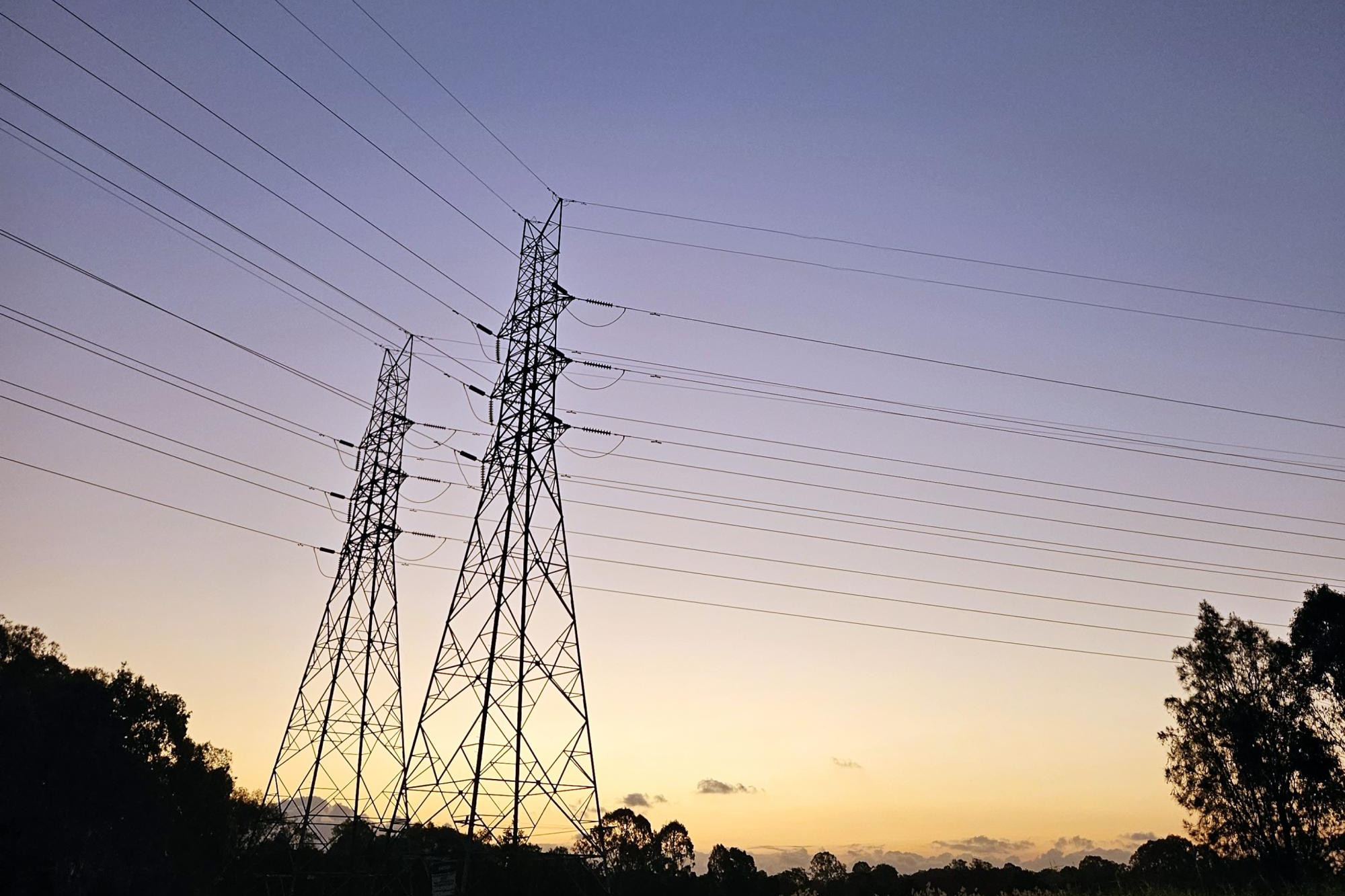
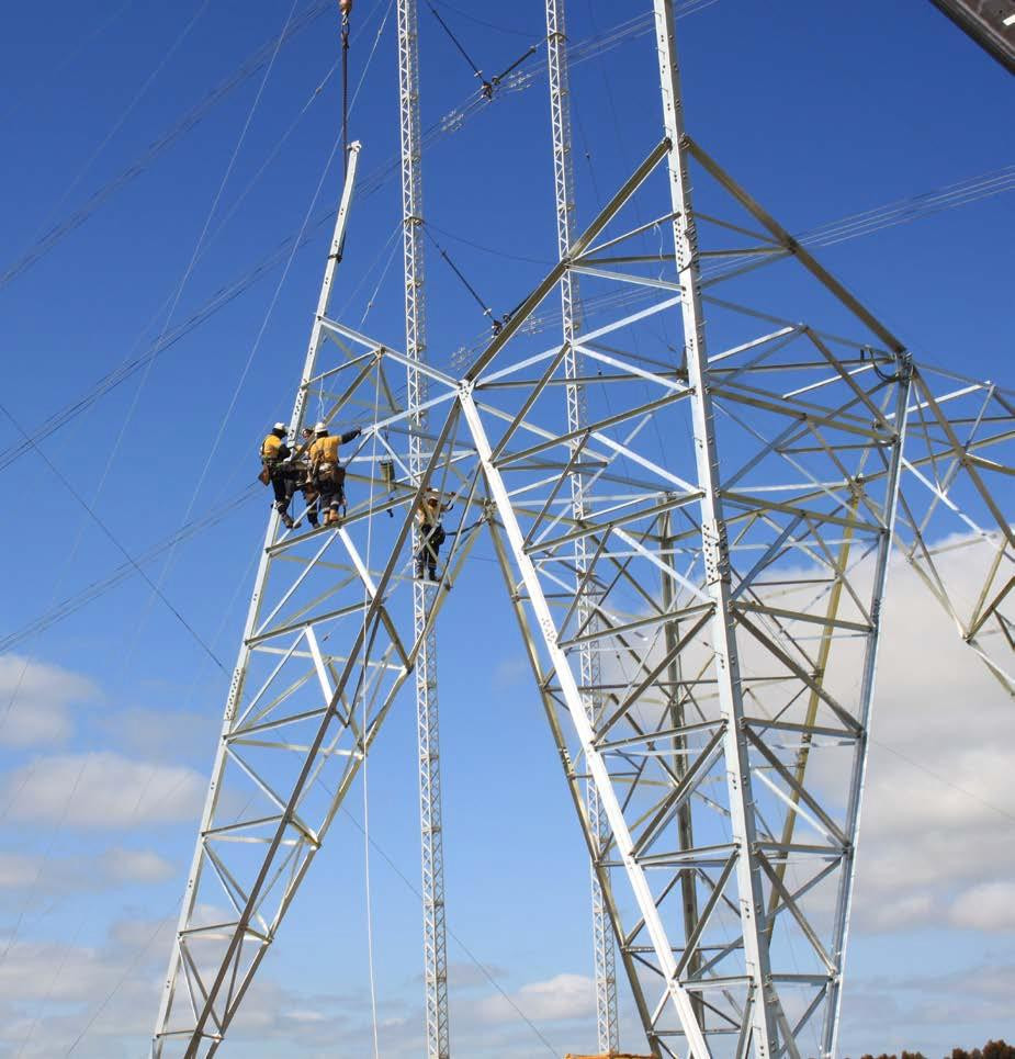
Transmission Company Victoria aims to whittle the planned route down over the next two years to a final 70-120-metre easement to locate the 500-kilovolt double-circuit overhead transmission line with towers about 80 metres high.
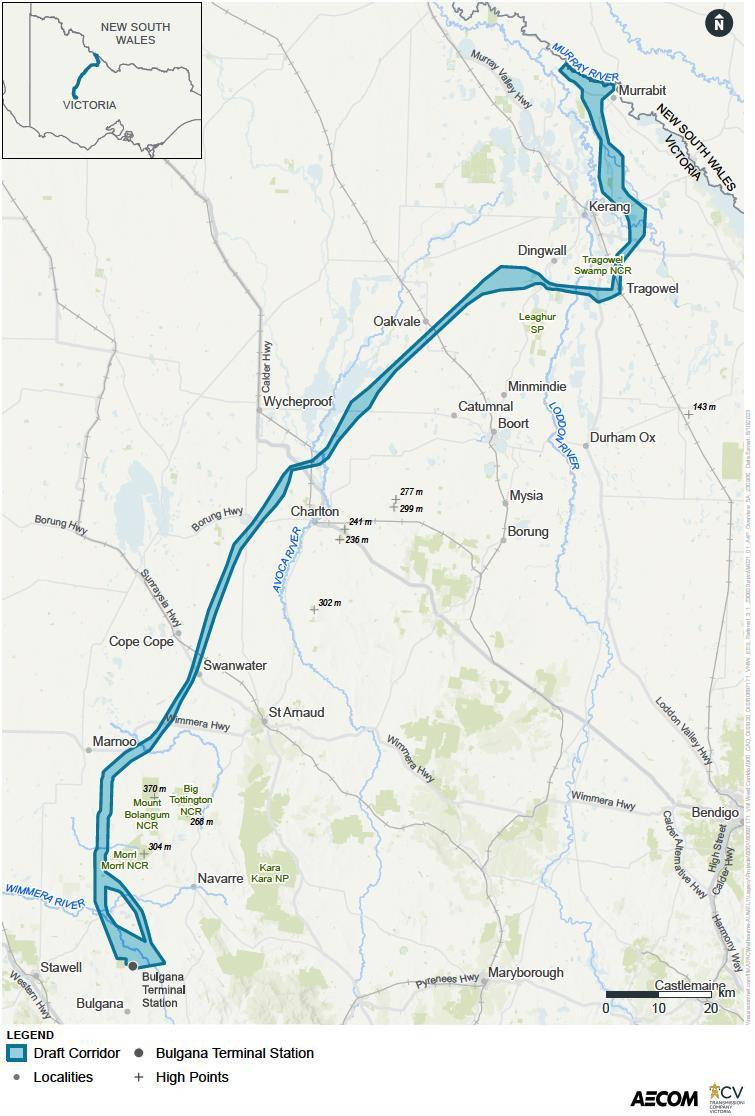
TCV said its latest planned route aimed to keep clear of major towns such as Charlton, Boort and Kerang.
The power company also said sensitive agricultural, environmental and cultural areas "influenced" the work to refine the route.
Protesters say the decision not to underground the lines exposed rural areas to increased fire risk, robbed the country of valuable farmland, devalued host properties and were unsightly.
In its report on "refining" the map, TCV said it had noted concerns on land devaluation, compensation, decreased productivity, easement restrictions, division of land, fire safety, land access and impact during construction.
TCV only made the route public late on Friday after stating in August it had refined its map.
TCV said it first wanted to contact the about 350 landholders within the new boundaries to personally advise whether their property or farm was within the draft corridor.
Some of those landholders who were already identified as being on the proposed route have vowed to refuse the energy companies access to their land even though a cash carrot of $10,000 has been offered as incentive for access.
That lack of support has continued with a majority of landholders refusing to discuss the issue with TCV.
VNI West project director Sam Magee said in August TCV committed to contacting all landholders located within the draft corridor before making it public.
"We have sent letters and information packs to all landholders in the draft corridor and in addition we have contacted approximately 40 per cent of these people," Mr Magee said.
Landholders can see where their property is in relation to the draft corridor by entering their property details into a new interactive map available on the TCV website.